
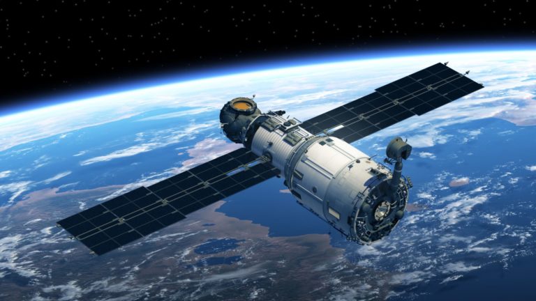
Although it has not yet been given the go-ahead, it is already a real achievement for the International University of East Africa (IUEA) in Uganda. IUEA will improve its training, especially in agriculture, by launching an education satellite.
The data collected will then be analyzed to develop content needed to develop the skills of students and farmers. The satellite aims to be an effective response to address the disastrous effects of climate change on Ugandan agriculture.
The precision of satellite data for precision agriculture

Satellite data is a unique resource to help farmers better monitor their arable land and anticipate what actions to take depending on the weather and expected yields. They alone make it possible to observe the landscape and provide essential data for crops such as soil moisture content with exceptional accuracy. It is also possible, thanks to this data, to follow the evolution of the crops in an uninterrupted way. Thanks to their data, satellites will therefore make it possible to optimize agricultural practices and improve environmental monitoring and management. With the use of satellite data, there will be precision farming that will be more efficient and more profitable to farmers. Farmers will now be able to know in advance the yield of a plot of land and can therefore act as an input to maximize that yield. It will also be a question of knowing precisely how much input, plant protection products or water to use on a given plant according to its real needs. No more wastage or inadequacy.
Until now, conventional precision farming methods have relied on yield maps from previous years (e.g. measured by GPS at harvest time) and on the farmer's knowledge of the plots. This method has one main drawback: it only takes very limited account of the actual state of vegetation growth.
Satellite imagery has revolutionized precision agriculture by opening up new perspectives. Image acquisitions carried out at key stages of crop growth allow precise measurement of biophysical parameters characterizing the state of the crop: foliar index (directly related to biomass), chlorophyll content, etc. The advice developed with this method better corresponds to the actual situation of the current year.
A technology spread across the continent
The institution has submitted a request for authorization to the competent authorities to that effect. If the project is approved by the Commission, the IUEA team and a group of students will begin to develop the satellite, which will be oriented towards training in agriculture. It will be responsible for collecting meteorological and climate change data.
This justifies the selection this year of IUEA by the Ugandan Ministry of Science and Technology as one of Uganda's universities to teach space science.
Some African countries have already expressed interest in a similar experiment. Last June, the South African government announced its interest in exploring space technology as a solution for making distance learning accessible to vulnerable students. The initiative responding to the closure of schools due to covid-19 is being developed. The project uses space technology to reach vulnerable students during the closure of educational institutions, which has resulted in a high demand for distance learning courses. The initiative responds to multiple demands from educational organizations. These relate primarily to issues of access to learning devices, network coverage and connectivity needed to enable e-learning.


